Deh Cho Route Connects: Grimshaw, AB, to the Alaska Highway
Routes#: 35, 1, 7, 77
Length: 795 miles
Road Surface: 60% paved, 40% gravel
Season: Open all year
Map (1 detailed pdf file available):
Grimshaw, AB to Alaska Highway, BC via Northwest Territories Highways
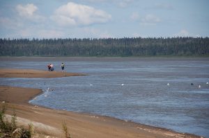
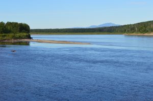
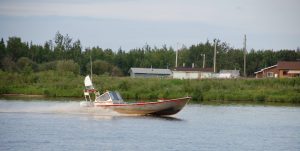
Named Deh Cho—Slavey Dene for “big river”—after the Mackenzie River, the Deh Cho route is a 795-mile/1,279-km wilderness loop connecting Grimshaw, in northern Alberta, with the Alaska Highway in British Columbia, by way of the Mackenzie River region of Northwest Territories. The Deh Cho also provides access to an additional 700 miles/1,127 km of the Northwest Territories road system.
This route begins for northbound travelers in either Grande Prairie or Valleyview, Alberta. The Grande Prairie route (via Alberta Highway 2) leads 104 miles/167 km north via historic Dunvegan to Grimshaw. and then via Alberta Highway 35 (the Mackenzie Highway) to Northwest Territories. The Valleyview route (via Alberta Highways 49 and 2) leads 99 miles/160 km north to connect with Alberta Highway 35/Mackenzie Highway.
You can download a map of the official Deh Cho Travel Connection, and a Northwest Territories Tourism Map from NWT Parks, at https://spectacularnwt.com/travel-info/maps. Follow links on page for more Travel Info.
From the Alberta/NWT border, the Deh Cho Route continues north and west as NWT Highway 1—the Waterfalls Route—to Checkpoint and the junction with the Liard Trail (NWT Highway 7/BC Highway 77). The Deh Cho “loop” is completed as the Liard Trail intersects with the Alaska Highway about 18 miles/29 km north of Fort Nelson, BC.
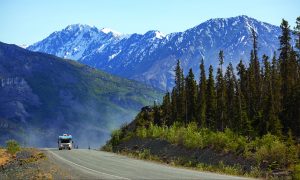
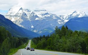
Expect 2-lane paved highway in Alberta and on NWT Highways 1, 2, 3, 5 and 6. Road surface remains mostly gravel with some paved sections on NWT Highway 1 to Fort Simpson and Wrigley. The Liard Trail, a relatively straight 2-lane road, is mostly gravel in Northwest Territories and chip-seal/pavement in British Columbia to the Alaska Highway. In addition to these highways, Northwest Territories maintains winter ice roads to Fort Good Hope, Sambaa k’e (formerly Trout Lake), Wekweèti, Whati and Gamèti. Interesting side roads on this route include Highway 58 to Fort Vermilion.
Gravel road can be muddy when wet and dusty when dry. “Dust-free zones” on gravel roads are treated with calcium chloride; wash your vehicle when possible. Watch for moose, black bear, wood bison and grouse along the road.

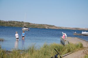
Free NWT ferries provide passenger and vehicle service in summer across the Liard River to Fort Simpson and across the Mackenzie River to Wrigley. In winter, traffic crosses on the ice. For current road conditions, phone 1-800-661-0750 or visit www.dot.gov.nt.ca/Highways/Highway-Conditions. Ferry information is online at www.inf.gov.nt.ca/en/ferries. Tourist information: https://spectacularnwt.com. Campground information: www.nwtparks.ca.
Communities

The MILEPOST® Quick Reference Log
Miles from Grimshaw (G) shown.
G 0 GRIMSHAW (pop. 2,718) Mile 0 of the Mackenzie Highway, monument at Grimshaw Visitor Center; turnoff for City Center. Grimshaw is located 104 miles from Valleyview via Alberta Highways 49/2 through Peace River, and 102 miles from Grande Prairie via Alberta Highway 2 through Fairview.
G 1.9 Queen Elizabeth Provincial Park (camping) and Lac Cardinal Pioneer Village Museum.
G 24.8 DIXONVILLE (area pop. 300); gas, general store, shopping, museum, campground.
G 49.6 Little Prairie RV Campground to west.
G 52 MANNING (pop. 1,183); food, gas, lodging, camping.
G 54.2 Truck stop, gas/diesel.
G 61.7 Hotchkiss Community Club Park; camping, fishing.
G 62.2 Golf course and campground.
G 89.8 Twin Lakes Campground; camping, fishing.
G 113.4 KEG RIVER (pop. approx. 400).
G 130.3 PADDLE PRAIRIE (pop. approx. 544); gas bar and store.
G 137 Junction with Highway 697, a 2-lane paved highway that helps form the “Mackenzie County Loop” drive through La Crete, Tomkin’s Landing and Fort Vermilion back to Highway 35 at High Level.
G 172.5 Aspen Ridge Campground to east; 41 treed sites; full hook-ups, potable water, firepits, showers, laundry and Wi-Fi. Phone 780-926-4540; https://aspenridgecampground.ca.

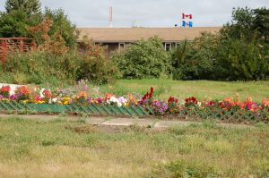
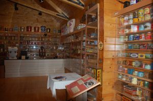
G 174.2 HIGH LEVEL (pop. 3,992); all services available. Museum and tourist information center and service road. High Level is located at the junction of Highways 35 and 58.
G 174.9 Junction with Highway 58 East to Jean D’Or Prairie (125 km/77 miles, paved/ gravel). Highway 58 leads 78 km/49 miles east (paved) to Fort Vermilion, the oldest settlement in Alberta, and junctions with Highway 697 to La Crete, forming the “Mackenzie County Loop” for travelers.
G 227.5 Gravel road leads west 63 km/39 miles to ZAMA (pop. 250), an oilfield community.
G 284 INDIAN CABINS (pop. 10).

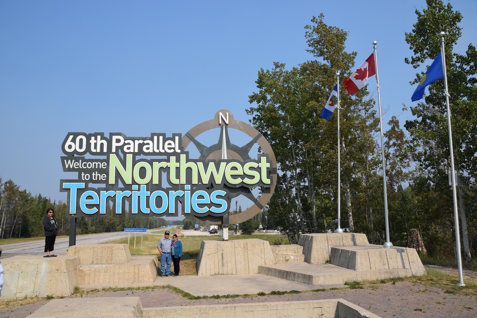
G 293.5 60th parallel. Border between Alberta and Northwest Territories. The Mackenzie High- way now changes from Alberta Highway 35 to NWT Highway 1, the Waterfalls Route. 60th Parallel Territorial Park Campground and picnic area adjacent visitor center; camping, fishing.
G 338.5 Twin Falls Gorge Territorial Park, Alexandra Falls day use area.
G 339.9 Twin Falls Gorge Territorial Park, Louise Falls Campground.
G 341.7 Escarpment Creek picnic and group camping area.
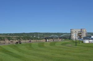
G 345.1 Junction with Highway 2 which leads 24 miles/40 km to HAY RIVER, 57 miles Highway 5 to FORT SMITH, and 114 miles/183 km to FORT RESOLUTION. Continue on Highway 1 for Yellowknife and Fort Simpson.
G 368.2 McNallie Creek Territorial Park day-use area.

G 397.5 Lady Evelyn Falls Territorial Campground.
G 398.6 Kakisa River Territorial Park; day-use picnic area.
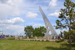
G 409.2 Junction with Highway 3 which leads north 25 miles to FORT PROVIDENCE, site of a Our Lady of Providence Roman Catholic church, and 211 miles/341 km to YELLOWKNIFE, capital of Northwest Territories; all services.
G 494.7 Sambaa Deh Falls Territorial Park; camping, fishing, half-mile hiking trail to Coral Falls viewpoint.

G 550.2 Junction of Highway 1 with the Liard Trail (Highway 7). Highway 1 continues 38 miles/61 km to FORT SIMPSON via a free government-operated ferry across the Liard River, which operates daily from late May through October. Fort Simpson has all services and offers fly-in trips to Nahanni National Park via Simpson Air. Turn south on Liard Trail for Fort Liard and the Alaska Highway.
G 614.2 Blackstone Territorial Park and Campground.
G 685 Junction with access road to FORT LIARD (pop. 584); food, gas, lodging, camping. Acho Dene Native Crafts store.
G 696.1 Gravel ends, pavement begins, southbound. Northbound, gravel road may be slippery when wet.
G 708.5 BC–NWT border. TIME ZONE CHANGE: British Columbia observes Pacific time, North- west Territories observes Mountain time.
G 794.5 Junction of Liard Trail and at Milepost DC 301 of the Alaska Highway 18 miles northwest of Fort Nelson, BC.